

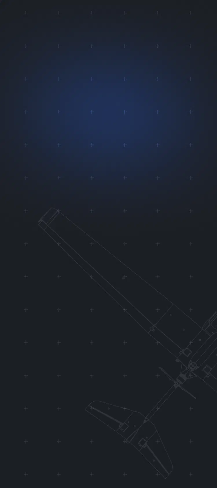

Photo ISTAR UAV
A universal UAV designed to perform a wide range of industry-specific tasks.
Cetus Photo can perform photo reconnaissance for up to 3 hours within an operational radius of 40 km. The UAV is easily transportable and operated by a crew of 2.
Cetus Photo can perform photo reconnaissance for up to 3 hours within an operational radius of 40 km. The UAV is easily transportable and operated by a crew of 2.

up to 40 km
Controlled radius range
3 h
Max endurance
200 km
Max flight distance
10 kg
Max takeoff weight
2 kg
Payload capacity
2,94 m
Wingspan
20 min
Deployment time
3500 m
Max altitude
from 100 m
Operating altitude
up to 40 km2
Map built in a single flight
1,2 m
Length
Catapult
Launch method
Key Capabilities

Secure Communication
The aircraft is equipped with anti-jamming GNSS, communication and telemetry transmission systems, ensuring resilient and uninterrupted data exchange.

Smart Aerial Analysis
AI-powered analysis of aerial imagery with the IRIZI Mission Management System enables streamlined Detection, Recognition and Identification of Objects of Interest.

Long-range Mission Capability
Designed to maintain extended operations with minimal intervention, Cetus Photo provides reliable data collection across vast operational areas.
Payloads
FUJIFILM GFX100RF
- EO Zoom 1x optical, 2.8x digital crop
- EO Resolution 11648 × 8736 px
- Equivalent focal length 35 mm
- Image resolution (GSD) 1…10 cm


Seamless Operations in GNSS-Denied and EW-Contested Environments
Cetus Photo is designed to operate under highly challenging conditions while maintaining continuous extended-range ISTAR capabilities and minimising exposure to threats. This advanced UAV ensures reliable data collection and real-time intelligence for making mission-critical decisions, even in denied environments.
What’s Included
UAV Cetus Photo, comprising:
- automatic flight controller,
- power plant,
- onboard navigation system,
- parachute system with emergency controller,
- FUJIFILM GFX100RF camera with lens on a gimbal,
- set of rechargeable batteries (2 pcs),
- battery charger,
- GPS tracker,
- transport case.
2
Ground workstation with remote monitoring and control system, with licenses for the use of the IRIZI software suite.
2
Hardware-software multi-frequency, multi-system onboard GNSS receiver.
2
Catapult launch system in a transport case
1
Ground antenna system with a jamming-resistant remote control and telemetry system
1
Titanium battery charging station
1
